- July 4, 2017
- No Comment
Multispectral Sensors: How Drones are Helping Farmers

Farming is quickly becoming an arms race in technological terms, with advances in automation and equipment sorting the wheat from the chaff, you might say. Increasingly, those who adopt these advances more quickly than others are setting themselves apart in terms of yield, loss and ultimately, profitability. Fortunately for all, the ‘technology’ in farming is becoming cheaper and more accessible thanks to open-source platforms like DIY Drone, and the prolificity of drone hardware.
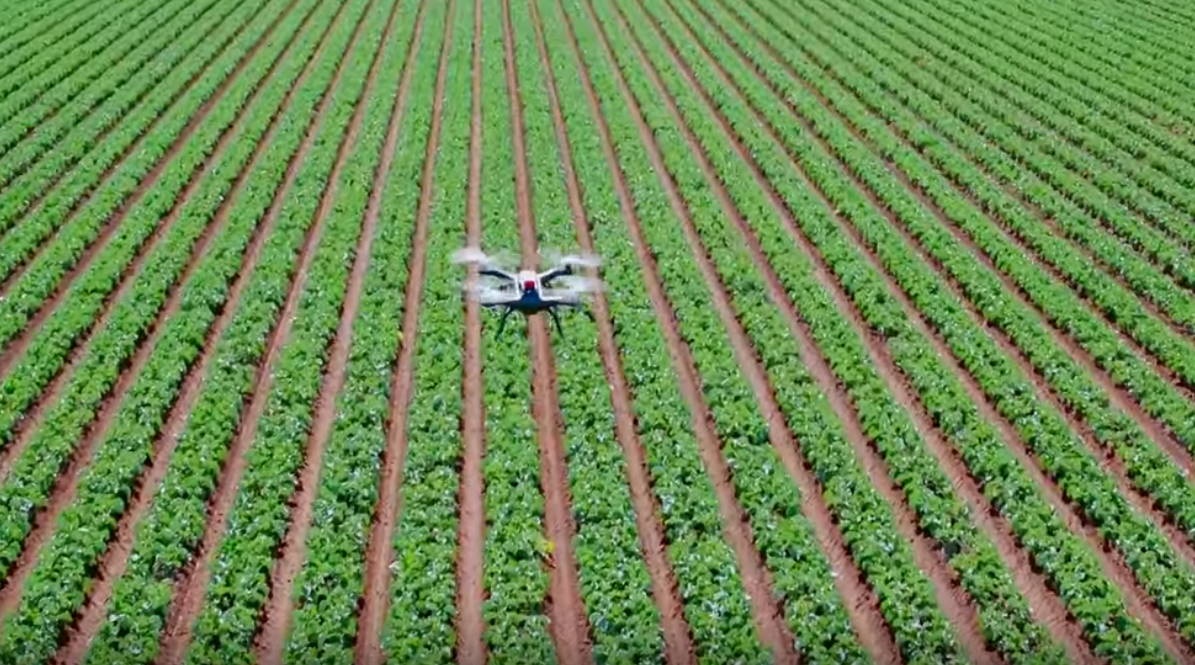
Monitoring crops is not only time-consuming, it’s an expensive exercise. Nonetheless, it is crucial to picking up potential problems such as disease and pests, in time to rectify them. Where piloted flights and ground-level inspections were once used to inspect crops for nasties, monitor the health of the soil and keep an eye on moisture levels, drones are now making short work of these tasks and more. In short, drones are helping farmers to grow more, with less. Latest on the scene are ‘multispectral sensors’ which map crops and fields, in more ways than one.
Multispectral technology
Advancing well beyond the humble drone-mounted camera, new multispectral sensors are capable of capturing not only high-definition images of a field, but can also the non-visible infrared light. Parrot’s Sequoia sensor detects red, green, red edge and near infrared wavelengths, and incorporates a 16GB RGB camera. Furthermore, it incorporates GPS technology, is Wi-Fi enabled, and boasts a second ‘sunshine’ sensor to record the intensity of sunlight over crops. This nifty little sensor weighs in at less than 80 grams, and at only 60cm x 41cm x 28cm, it’s small enough to be carried by almost any drone. In fact, the device is built to work with both fixed wing and rotator drones, making it incredibly versatile.
With the help of multispectral sensors, farmers can benefit from the following:
- Identify pests, weeds and general threats to crops and even livestock;
- Monitor fencing for weaknesses or breakages;
- Act quickly to rectify issues detected;
- Detect moisture and heat levels in soil, and act accordingly;
- Count plants, monitor line spacing issues and measure variances in crops;
- Identify areas of water stress and address quickly;
- Monitor machinery in action;
- Determine optimal times to water, fertilise and eradicate pests based on conditions;
- Manage crops and soil health throughout the season, from sowing to harvesting and tilling soil.
Using the GPS and inertial data available from the sensor, mapping routes can be planned, and images sent back to any device, be it smartphone, tablet or computer. Farmers are then able to make real-time decisions about watering, fertilisation, pest eradication, planting and harvesting.
There are many unmanned crop-monitoring drone options available for purchase, however Parrot’s device is able to be retrofitted to an existing drone. For farmers who have already invested in drones, this is an ideal solution, as it does not require the purchase of a new machine. At US$3,500 the Sequoia is much more wallet-friendly than many of the ready-made multispectral drones, which can cost well in excess of $10,000.


